Trigueros
Escaneo mediante sistema manual mobile mapping

Publish, view and share your point clouds in the cloud!
or
It's free!Escaneo mediante sistema manual mobile mapping
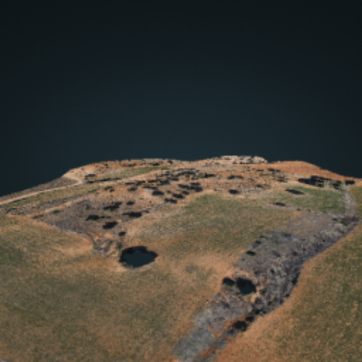
El Puente del Congosto, en Lozoya El Puente del Congosto, también llamado de la Horcajada, se encuentra en el término municipal de Lozoya, muy cerca del punto kilométrico 11,800 de la carretera M-604. Se levanta aguas abajo del Embalse de Pinilla, la primera de las grandes presas que el río Lozoya atraviesa en su curso. El origen de esta obra es incierto. Algunos autores defienden que fue realizada durante la dominación romana de la península, dadas las similitudes de su fábrica con otros puentes de la citada época, especialmente el de Cangas de Onís, en Asturias. Otros investigadores retrasan su construcción a la Edad Media y, más en concreto, a los siglos XII o XIII, ya que su tipología parece corresponderse con este periodo. En cualquier caso, los únicos datos históricos que se conocen es que aparece citado en el Libro de la Montería, que el rey Alfonso XI de Castilla mandó escribir a mediados del siglo XIV, y que fue objeto de una reparación en el siglo XV. El puente tiene seis metros de luz, que le permiten salvar una profunda garganta, sobre la que el Lozoya se precipita con fuerza y estruendo. Está hecho en sillarejo, toscamente dispuesto. (texto extraido de https://pasionpormadrid.blogspot.com.es/2013/03/el-puente-del-congosto-en-lozoya.html)
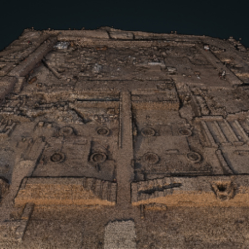
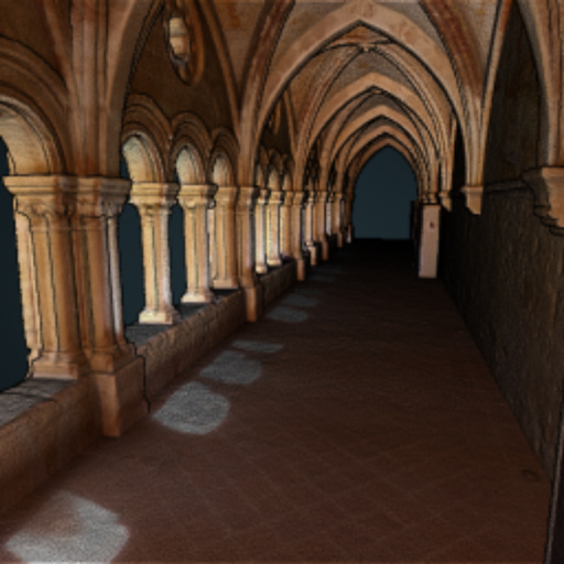
Photogrammetric and scanner survey of the Tutmosis III temple. https://thutmosisiiitempleproject.org/index.php/en/thutmosis-iii/the-temple
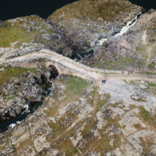
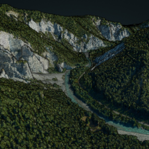
The "Swiss Grand Canyon", Rheinschlucht, or Ruinaulta is the biggest canyon in Switzerland and is located in the Canton of Graubünden. It was created 10'000 years ago in one of the biggest landslides in the history of the alps. Hence, the name contains "Ruine". The canyon is 13km long and up to 400m wide and is a very popular region for hikes, bike tours or river rafting. We used PhaseOne ixu-rs1000 Camera and an AS350 to capture the images with 70/90% of overlaps.
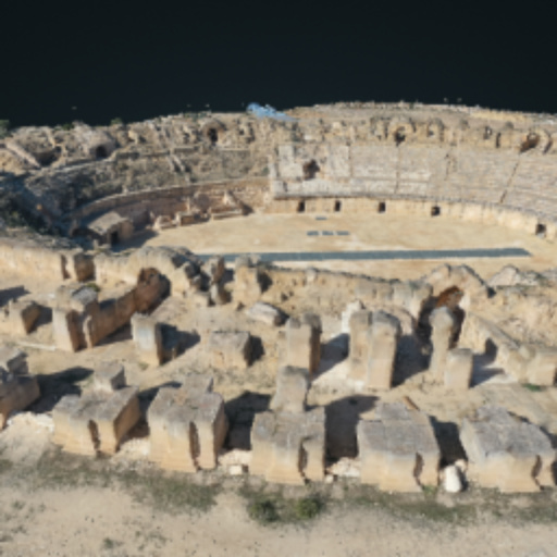
L'amphithéâtre de forme elliptique mesure 110 mètres sur 90, avec une arène centrale de 58 mètres sur 35 desservie par une galerie souterraine alignée sur son grand axe. Les gradins, dont la partie inférieure est creusée dans le sol et adossée à la colline avoisinante, possède une capacité pouvant aller jusqu'à 15 000 spectateurs.
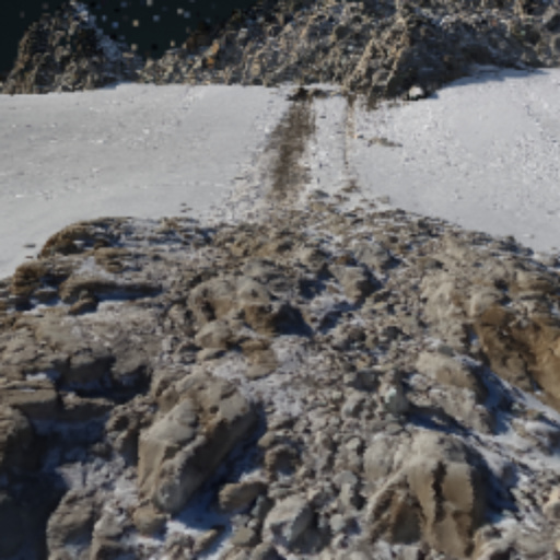
Mapa de variaciones desde Noviembre 2020 a marzo 2021.
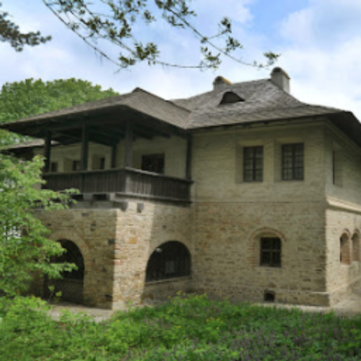
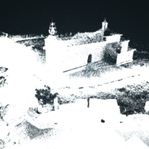
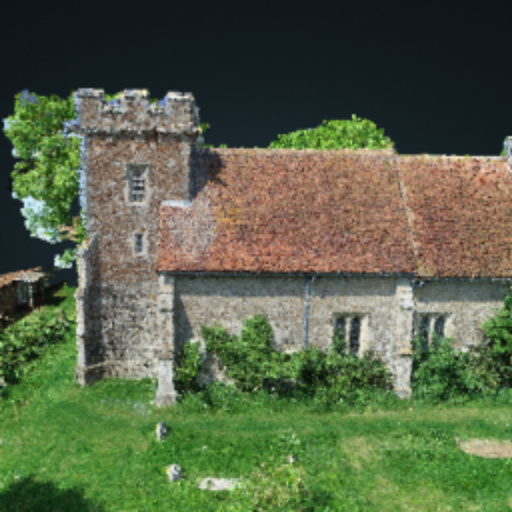
English church in Essex UK
GEO9
This website uses cookies to provide the user a better experience.
By continue navigating you are accepting our cookie policy